Innovation

Photo: Elen11 / iStock / Getty Images Plus / Getty Images

Innovation Insights: A history of techniques and services that contributed to the refinement of the ITRF

August 15, 2024

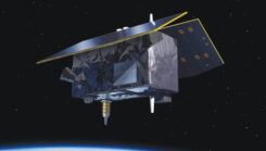
Genesis satellite.

Innovation: ESA’s multi-modal space mission to improve geodetic applications

August 15, 2024

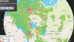
Figure 1: GPSJAM map on March 23, 2024. The map is based on GPS accuracy reports fron aircraft broadcast digital radio messages (ADS-B) over a 24-h period. A vast (uncolored) area on the globe is not covered because of no ADS-B report. Arcs are drawn over part of Europe and the eastern Mediterranean to help visualize the cone of the interference coming from potential jamming power sources. (Photo: GPSJAM.org)

Innovation: Recent GPS jamming in regions of geopolitical conflict

May 24, 2024

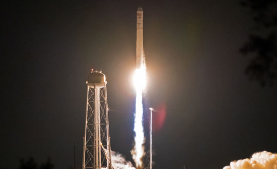
Figure 2 Bobcat-1 launches aboard the Cygnus NG-14 resupply mission to the International Space Station. (All figures except FIGURE 3 provided by the authors.)

GNSS timing measurements from a low-Earth orbiting satellite

March 5, 2024

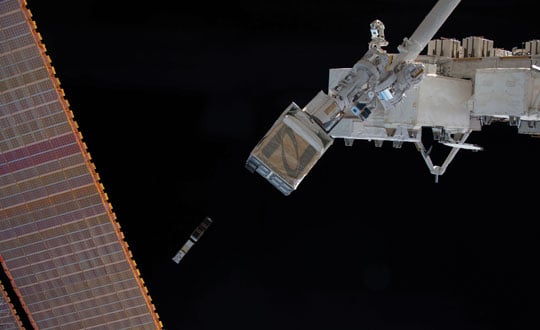
Figure 3: Bobcat-1 is deployed into low-Earth orbit by the Nanoracks CubeSat Deployer alongside SPOC, a CubeSat developed by the University of Georgia. (Photo: NASA)

Innovation Insights: What is a CubeSat?

February 27, 2024

This article is tagged with and posted in From the Magazine, GNSS, Innovation, Latest News
Image: Chiociolla/ iStock / Getty Images Plus/Getty Images

Innovation Insights: Science in paradise

November 17, 2023

This article is tagged with and posted in Innovation, Latest News, Opinions
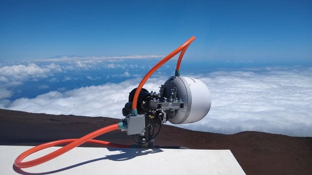
Figure 1: The side-facing horn antenna in its radome enclosure (left panel) and the hardware block diagram of the data collection system (right panel). (All figures provided by the authors)

Using GNSS Phase Reflectometry on Maui’s Haleakalā

November 17, 2023

Photo:

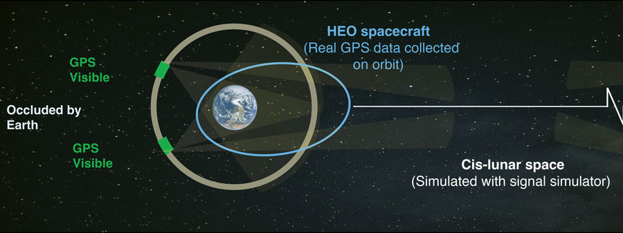
Far Out: Positioning above the GPS constellation

August 9, 2023